
The American Southwest's Canyon Country: What First-Time Visitors Often Misunderstand

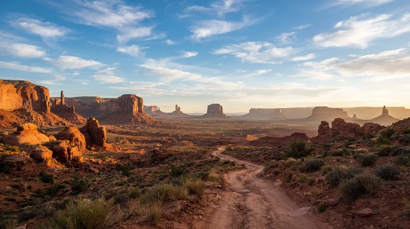
Photo: TrendingResults.net | Discover More, Trend More editorial
Key Takeaways
- Many popular canyon trails and slot canyons require advance permits that sell out weeks or months ahead.
- Flash floods can strike in sunshine - always check upstream weather before entering any canyon.
- Summer heat in canyon country regularly exceeds 100°F, making spring and fall the safer windows for most visitors.
- Cell service is sparse or nonexistent across large stretches of canyon country; offline maps are essential.
- The distances between services in this region are far greater than they appear on a typical road-trip map.
Why Canyon Country Surprises So Many First-Timers
The American Southwest - spanning southern Utah's Colorado Plateau and northern Arizona's canyon corridors - is one of the most visually stunning regions in the country. But it's also one of the most frequently misread by newcomers. Instagram feeds full of glowing slot canyons and solitary hikers on mesa tops create an impression that bears little resemblance to the planning, permits, and physical demands actually involved.
Understanding what's real versus what's romanticized can be the difference between a trip that energizes you and one that ends in an emergency. Here's what first-time visitors most commonly get wrong - and what the facts actually look like.
Myth
You can just show up and hike the famous slot canyons whenever you want.
Fact
Most iconic slot canyons - and many popular backcountry routes - require permits that must be reserved well in advance, often months ahead during peak season.
Sites like The Wave in the Vermilion Cliffs and the Narrows backcountry zone in Zion operate under strict permit lotteries. Antelope Canyon's guided tours (required for visitors) routinely book out weeks ahead. The National Park Service and Bureau of Land Management have expanded permit requirements in recent years as visitation has surged. Check each site's official page - not third-party travel blogs - for current reservation windows and procedures.
Myth
Flash floods only happen when it's raining where you're standing.
Fact
Flash floods in slot canyons are triggered by storms miles away, often in areas you can't see, and can arrive with little to no warning even under blue skies.
This is one of the most dangerous misconceptions in canyon country. Water funneled by distant thunderstorms can travel down canyon systems at tremendous speed. The National Weather Service and individual park ranger stations provide flash flood guidance specific to drainage basins - not just local weather. Before entering any slot canyon or narrow wash, check forecasts for the entire upstream watershed, not just your immediate location. Several visitor fatalities in recent decades have occurred on sunny days.
Myth
Summer is the ideal time to visit - warm, dry, and perfect for outdoor adventure.
Fact
Midsummer temperatures in canyon country regularly exceed 100°F to 115°F, and heat-related emergencies are among the most common reasons park rangers respond to calls.
The canyon walls radiate stored heat, making exposed hikes feel significantly hotter than air temperature alone suggests. Dehydration and heat exhaustion can set in faster than most visitors expect. Spring (March-May) and fall (September-October) are generally considered more manageable windows for active hiking. If you do travel in summer, plan strenuous activity before 9 a.m. and after 5 p.m., and carry far more water than you think you'll need. Our companion piece on what extreme desert heat means for travelers goes deeper on this topic.
Myth
Cell service and navigation apps will get you where you need to go.
Fact
Vast stretches of canyon country have no cell coverage at all, and GPS apps that require data connections can fail at critical moments.
Many canyon roads and trailheads sit in areas where major carriers provide no service. Relying solely on a connected navigation app - or expecting to call for help if something goes wrong - is a genuine safety risk. Download offline maps before you leave a city, carry a printed or downloaded copy of your route, and consider a satellite communicator device if you're going deep into backcountry areas. Park visitor centers can also provide paper maps and up-to-date trail condition reports.
Myth
The scenery is so beautiful that any trail is worth attempting.
Fact
Many canyon country trails involve significant elevation change, loose rock, and exposure - and are not appropriate for casual hikers without relevant experience.
Trails rated "moderate" in canyon country can involve scrambling on slickrock, navigating unmarked routes, or descending steep sandstone faces. The terrain looks approachable in photos but can be technically demanding in person. Research trail difficulty using multiple sources, check recent trip reports on hiking forums, and be honest about your fitness level and experience with exposed terrain. Turning back is always a valid - and smart - choice.
Planning Ahead: Permits, Heat, and Getting Around
Canyon country is vast, and the gaps between gas stations, grocery stores, and urgent care facilities can stretch for 50 miles or more. Road-tripping in remote American regions demands a different kind of preparation than coastal or urban travel, and the Southwest is no exception. Fill your tank whenever you can, carry extra water in your vehicle, and download offline maps for areas you'll be traversing.
Permit systems have expanded significantly at popular sites. Before you finalize any itinerary, read our guide on how timed-entry and reservation systems work - the rules vary by park and change seasonally. And if canyon country's crowds concern you, consider that lesser-known national parks can offer equally dramatic scenery with far fewer logistical headaches.
Service Gaps Can Be Dangerous
This article is for general informational purposes only. Always verify current permit requirements, weather conditions, and safety advisories with official park and government sources before traveling.
The content on this site is provided for informational purposes only and should not be considered a substitute for professional advice. While we strive to provide accurate and up-to-date information, we make no guarantees regarding its completeness or accuracy. Always consult a qualified professional for advice specific to your circumstances before making any decisions.